Eight mountain bike rides that explain Panama
Rainforest, highland dirt, volcanic ridges and dry Pacific forest — a practical guide based on the places a local rider actually returns to.
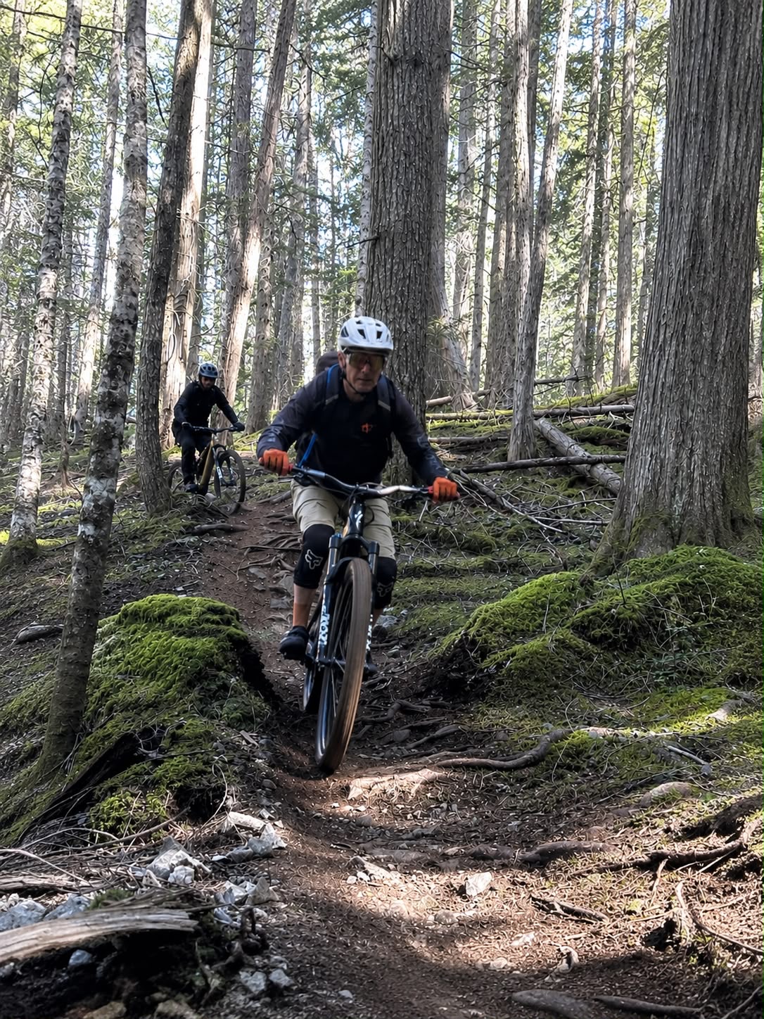
Search for mountain biking in Panama and you will find plenty of jungle. What you rarely find is useful trail context from someone who keeps riding it.
This guide starts with William's real GPS history: 166 mountain-bike activities in Panama, filtered from 2,943 total Strava activities. We grouped the rides by place, then used the averages to show how each zone feels in the saddle — not to publish turn-by-turn tracks or pretend every day on a trail is identical.
The result is not a ranking from first to eighth. It is a map of choices: a short technical descent in the highlands, a repeatable city loop, a long climbing day in the mountains and rainforest riding close enough to combine with the Panama Canal.
Distances and elevation below are averages from the recorded sample, not official trail specifications. Conditions, access and exact lines can change, especially after heavy rain. That is one reason local guidance matters.
Eight lines across the isthmus
From Panama City training grounds to serious highland climbing, each place has a different reason to ride it.
 01
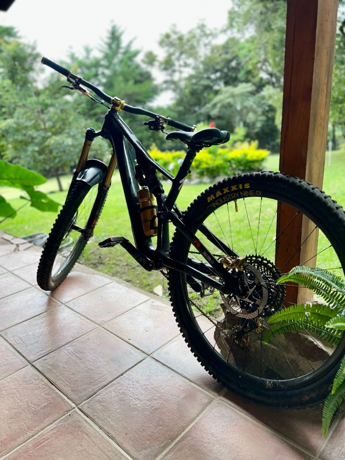
01Downhill Urbano
Boquete's steep streets and highland edges make a compact introduction to riding in Chiriquí. This sample is short and descent-focused: useful as a technical session or a fast add-on, not as a full portrait of the region's much broader trail network. The cooler elevation is welcome; loose surfaces and changing weather still demand attention.
 02
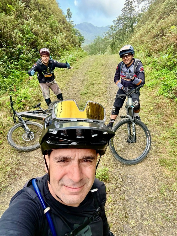
02Conquistando La Gloria
This is the climbing day in the collection. The recorded average pairs 25.2 kilometers with 1,434 meters of ascent — the kind of ratio that rewards low gearing and an honest conversation about fitness. Mountain air, steep access roads and forested slopes make it a strong choice for riders who value the summit as much as the descent.
 03
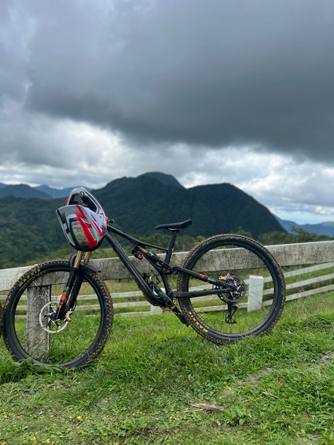
03DH El Valle
El Valle sits inside an ancient volcanic crater, and its riding compresses a lot of terrain into a small area. The DH sample is short, technical and shaped by the valley's steep green walls. It works best for riders who enjoy focused trail laps, then want waterfalls, a village lunch or thermal pools after the bike is put away.
 04
04Seco Forest Loop
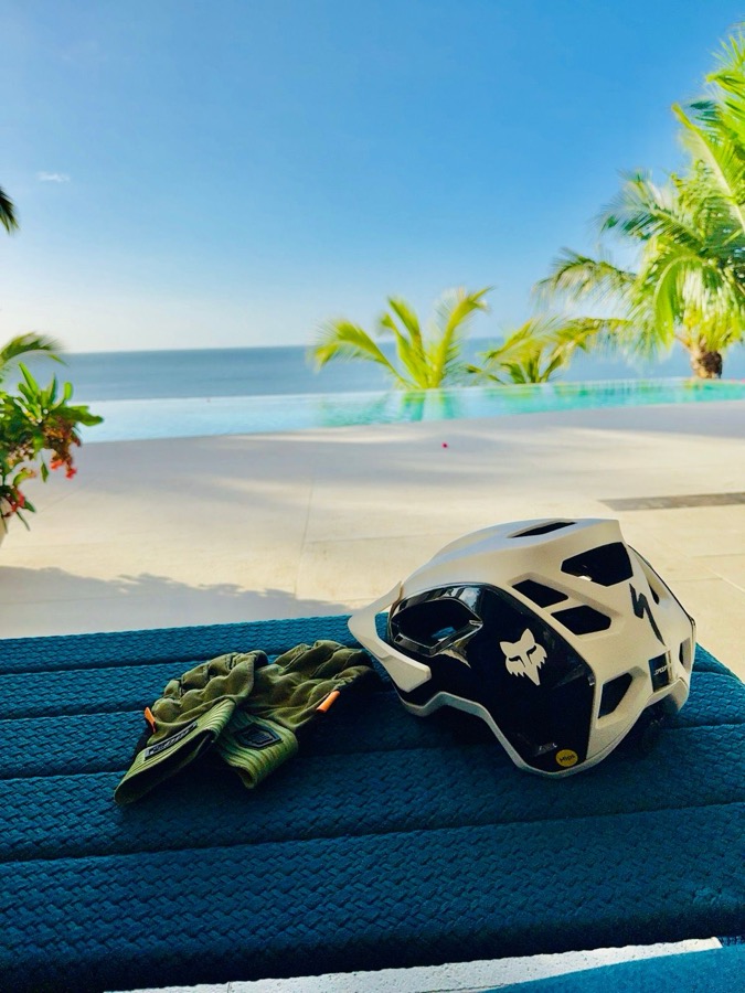
On the Pacific side, the vegetation opens and the riding becomes more about sustained pedaling than high-mountain climbing. At 27.4 kilometers on average, Seco Forest is the longest regular loop in this set. It is a good fit for riders who want steady mileage, rolling terrain and a different Panama from the humid Canal rainforest.
 05
05Gamboa Bike Park
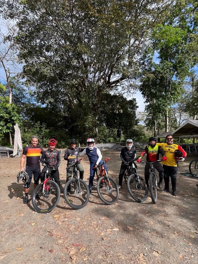
Gamboa is the most direct way to combine riding with the Canal landscape. The average loop is only 9 kilometers, yet records 372 meters of climbing — compact, punchy and unmistakably tropical. Expect roots, humidity and dense forest rather than long open views. It is close enough to Panama City for a day ride but feels much farther away once the canopy closes.
 06
06Tití
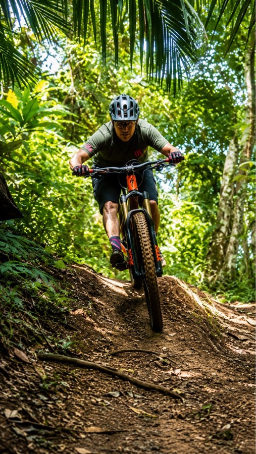
Tití is the local benchmark. With 105 recorded rides, it is by far the most repeated zone in William's history — the place for checking legs, bike setup and trail conditions without turning the ride into an expedition. A 10-kilometer average and moderate climbing make it approachable, while repetition reveals the details that one visit misses.
 07
07Antennas & Pump Track
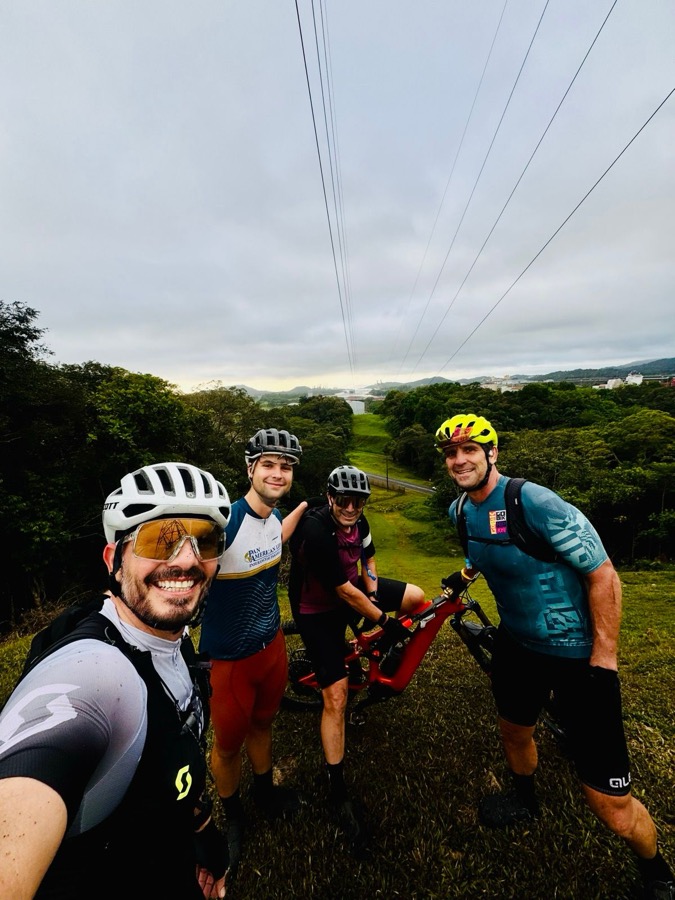
Patacón is a city-side skills session: little elevation gain in the activity averages, with room to work on handling and repeat short efforts. It is not the sweeping wilderness ride people imagine when they hear “Panama,” and that is exactly its value. Local mountain-bike culture also lives in practical places where riders can train often.
 08
08Hacienda Hierbawuena
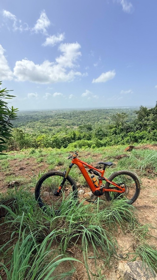
Cerro Azul trades the city's heat and flatter training terrain for a genuine mountain day. The 18.4-kilometer average includes 639 meters of climbing, so the effort arrives quickly. Forest roads, elevation and cooler air make this a useful middle ground between an easy city loop and the much larger climbing commitment of Altos del María.
Source: William Downing's Strava history. Averages were calculated from the GPS-recorded rides assigned to each zone; they are not official trail measurements.
Three things that change the day
Season changes the surface
December through April is generally the drier window for exposed and highland routes. Rainforest and city zones can be ridden more broadly through the year, but recent rain can transform roots, crossings and access.
Distance is only half the story
Nine tropical kilometers with 372 meters of climbing can feel bigger than a longer rolling loop. Choose by elevation, surface and technical level — not distance alone.
Access is local knowledge
Some lines cross private land, working areas or trail networks that change. A local guide can confirm access, match the route to your group and bring the support the terrain requires.
Tell William what kind of dirt you want.
Share your dates, group size and experience. We will recommend the right part of Panama and build a private route around your crew.
Plan it on WhatsApp